Showing posts with label Take a Hike. Show all posts

Friday, February 21, 2014

Wintry Return to Old Rifle Range Trail

Where White and Blue trails converge. (2/18/14)
On Tuesday, I went for a walk. While some things have changed since my last "photoshoot" at the Old Rifle Range Trail at the Ellison Park Wetlands Center in Penfield, New York, in Summer 2007, most significantly the name of the park, much has stayed very much the same. Now called the Lucien Morin Park is located on the north side of Ellison Park and continues to Irondequoit Bay. Based on my review of the those old pictures from 2007, a change in trail markings (or "flashes") has also been made. The official Monroe County Parks Map of Rifle Range Trail still shows a range of flashes (blue, white, yellow, salmon, pink and red) Today, I hiked the same trail and never crossed a yellow trail (though upon further review maybe I didn't wander south enough). Trail markings not withstanding, these trails in winter are very easy to hike as the visual reminders (marsh, very busy Empire Boulevard) and leaf-less trees make finding oneself very easy.

Of course, this was a winter hike rather than a summer trail run, but the exercise was no less difficult.

The trail-head accessed off Empire Boulevard. (2/18/14)
An appropriate--though challenging--trail flash to follow in winter. (2/18/14)
Perhaps snowshoes would have been in order for today's walk. (2/18/14)
(2/18/14)
While momentarily off the beaten trail, quickly found my way back on. (2/18/14)

Mystery Bird/ (2/18/14)
The bird pictured above (and below) is something of a mystery. Despite attempting to use the Cornell Lab of Ornithology's All About Birds online field guide to properly identify it employing a range of criteria, including body shape, I had difficulty concluding exactly what kind of bird it is. I'm confident it is something obvious and familiar (and therefore ubiquitous) I am not confident of exactly what it is: Wood Thrush? Hermit Thrush?

Simply because it is on a felled tree does not make it a Wood Thrush, right? (2/18/14)
Blue trail flashes abound. (2/18/14)
(2/18/14)
Adult female Downy Woodpecker. (2/18/14)
An adult female Downy Woodpeckers give a checkered black-and-white impression. The black upperparts are checked with white on the wings, the head is boldly striped, and the back has a broad white stripe down the center.

Adult female Downy Woodpecker. (2/18/14)
(2/18/14)
(2/18/14)
Look carefully, pretty sure it's a Brown Creeper! (2/18/14)
Brown Creeper are well camouflaged and inconspicuous against tree bark in a shady forest, but if you keep your eyes peeled for movement, you may find a creeper zigzagging upward as it gleans insects from the trunk, or see the small shape of one dropping from high on a trunk to the base of a nearby tree. Once learned, the high, insistent call note can alert you to the presence of these birds. Look for Brown Creepers in mature woods, if possible, though you can also find them in parks and suburban areas in the winter (from AllAboutBirds.org).

(2/18/14)
(2/18/14)
(2/18/14)

Wetlands in winter. (2/18/14)
(2/18/14)
Wetlands housing available. (2/18/14)

Tuesday, August 21, 2007

Return to Horizon Hill

Trail Run: 2.7 miles in :26:25 min. @ 6:10 a.m.

Weather: Cloudy, Cool with intermittent Light Rain, 60°F, 80% Humidity, Winds: ESE @ 14 mph; feels like 60°F.

Pace: 9:47 min./per mile avg.

Yup... I'm still running. Given the posts I've been sharing the last few days I can see how the one or two of you who read this might think otherwise. The two day layoff was due to the necessity of having back-to-back "recovery days": Sunday was the second of last week, and Monday was the first of this training week. By doing this, I am hoping to stay true to the plan as a start Week 2.

This morning I returned to Horizon Hill, a 2.2-mile four-booter (challenging) trail course which is part of the larger Crescent Trail in Perinton, NY. As in my first hike there with my kids, I ran the course in reverse, which created the opportunity for a more challenging run with many excellent hills to push up.

While the weather was cool for August, and rather drizzly, the conditions were excellent for trail running beneath the canopy of trees. Despite some stone-laden parts of the course (and a few trees and minor root systems, too) I found myself energized by the lay-off of the previous two days and more than willing to forge ahead--even when going "ahead" meant going backwards as I missed one or two trail blazes (which accounts for my overall distance today going past the trails 2.2 mile length).

Run 2: 2.5 miles in :30:00 min. @ 7:00 p.m.

Weather: Cloudy, 63°F, 76% Humidity, Winds: ESE @ 13 mph; feels like 63°F.

Pace: :12:00 min./per mile avg.

Anne and I have contuned to work through a 5k training plan together, taking to the fall-like streets for a thirty minute run...

Breathe in, breathe out... YOU AND I ARE ALIVE!

Tuesday, August 07, 2007

Scouting Routes: The Old Rifle Range Trail


I am looking for some off-road courses to run, but have a terrible sense of direction. In an effort to better learn how to read maps and interpret "flashes," I have embarked on an effort to walk/hike some of the local (and not-so-local) trails in the area, using the book Take a Hike! by Rich and Sue Freeman, as a starting point.

Anne and I have been eyeing the Old Rifle Range Trail at the Ellison Park Wetlands Center in Irondequoit, New York, as a hiking course for a while, and when I read that the distance (3.4 miles) was just over a 5k and the level of difficulty was "challenging," I thought it might make for an interesting potential training run. Today I set out to walk and photograph the course with the intention of returning at some point to run it.

According to the book, I will focus on the
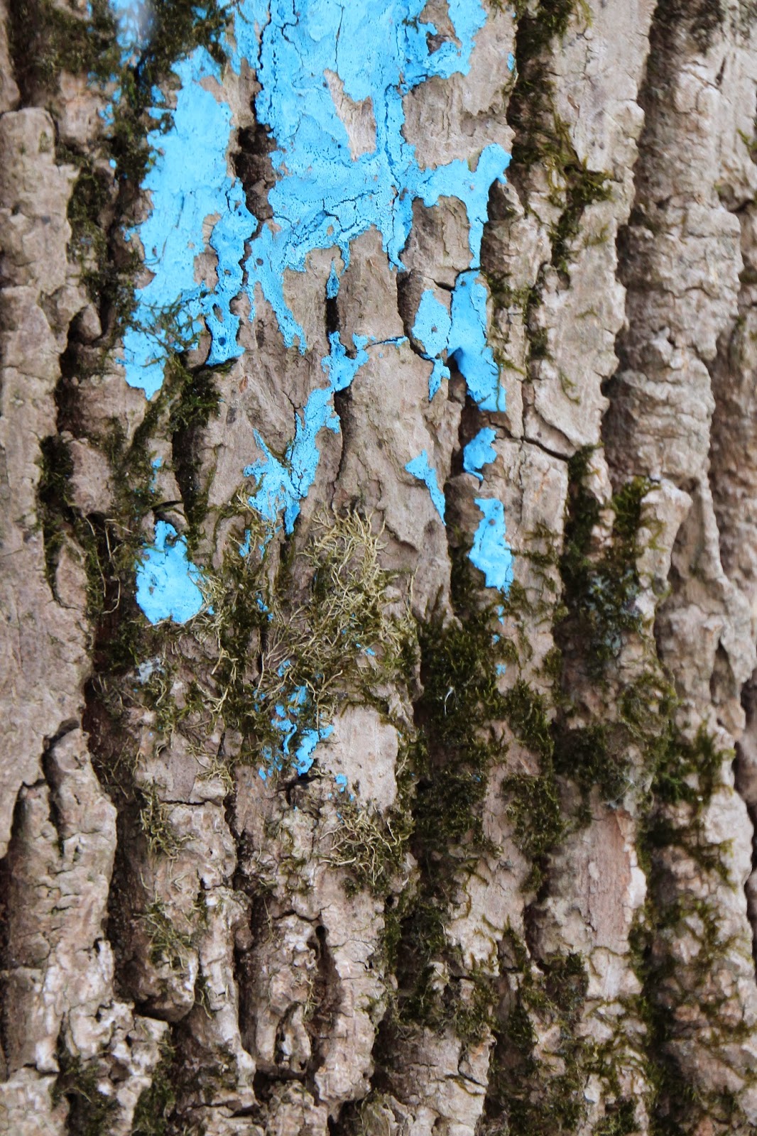
 White and Yellow trails. I must have missed it in the book, but I am surprised to find that there are a number of trails (Blue, Salmon, Red...) which I had not anticipated... this is great in that it creates more opportunities for future exploration, but potentially problematic as, given my orienteering problems, it could create confusion.

As promised, there are quite a few inclines to climb...


But, as the saying goes, "what goes up, must come down." There are quite a few dissensions, which can be as challenging to hike (and run) as an incline.


The trails are very well marked, including "arrows" to hikers below downed trees, as well as, to the left or right. Be careful though, as the situation pictured directly below is at the end of a steep downhill and I could see folks going into the tree rather than under if they're not careful!


These are pictures of what remains of the shooting range, from the 1930's, after which the trail is named. The "Yellow" trail takes you down and around the range.


Now this is where I made an error in hiking the trails as articulated in the book. As you can see, I am pointing right, which is the direction I did go... I should have taken a left onto the White Trail (oddly flashed with yellow point?), rather than a right onto the "White/Yellow Trail." This resulted in a short-cut back to the white trail and cut about a mile off of the overall distance.


Yeah--I made it back! I greatly enjoyed the hike and am looking more forward to running the complete course next time... I'll be sure to print out a current (and color-coded) map, though!


Breathe in, breathe out... YOU AND I ARE ALIVE!