Showing posts with label hiking. Show all posts

Wednesday, July 17, 2019

Roadie: Glacier Bay National Park

In the background, the Mendenhall Glacier. (7/1/2019)
Don't ever become so jaded that you begin to think that you can see too much incredible natural scenery. After 3+ hours whale watching, we took a quick bus trip to Glacier Bay National Park and Reserve, an American national park located in Southeast Alaska west of Juneau. The park is also part of the Tongass National Forest, a fact which offers a sense as to the size and scope of Tongass--our earlier stop in Ketchikan took us to a different corner of the same rainforest! Still feeling the natural high from the wind, waves and humpback whales, vibing with the glacier and waterfall from a distance was still easy to do.

Mendenhall Glacier and Nugget Falls both of which empty into
Mendenhall Lake. (7/1/2019)
Glacier Bay National Park and Reserve is yet another wonderful
national park. (7/1/2019)
The Mendenhall Glacier... catch it now before its gone. (7/1/2019)
There is a trail that takes one to the base of Nugget Falls, and closer to the Mendenhall Glacier. Given the short amount of time we had in the park--and that those we were traveling with being too tired to take the 2 mile trek, Anne and I opted to view from afar with our family. Like all the national parks and sites we have visited there were many smaller things, in this case lichen and birds, that were as interesting to observe as the park's headliner, the Mendenhall Glacier.

Nugget Falls to the immediate right of the Mendenhall Glacier. (7/1/2019)
My brother-in-law and my brother. (7/1/2019)
(7/1/2019)
The "Tern Stop" was a pick-up/drop-off point for visitors as well
as an indicator of things to come. (7/1/2019)
Arctic tern sitting on its nest with a friend. (7/1/2019)
Arctic tern offering a friendly reminder. (7/1/2019)
(7/1/2019)

Monday, July 21, 2014

Roadie: Point Bonita Lighthouse

Point Bonita Lighthouse. (7/13/14)
While visiting California, my friend Jerry, his family and I went on a quick roadie to see the Golden Gate Bridge from a nearby park and then continued on to the Point Bonita Lighthouse. As you can see from the photos of the area that follow, it is not surprising that the structure was originally intended as a steam siren fog signal in 1874, before being converted to a residence for the lighthouse keeper in 1906. This excursion was suggested by a friend of Jerry's wife, and it did not disappoint, and despite a (surprise!) foggy, grey day, we found the locale very photogenic.

The first half of the trail to the Point Bonita Lighthouse. (7/13/14)
Today, Point Bonita is part of the largest urban national park in the US, the Golden Gate National Recreation Area. Point Bonita is reached by a half-mile trail that is steep in parts. Mid-way along the trail, a tunnel allows access to the lighthouse during visiting hours. The trails surroundings provided much to take in including interesting wildlife, geological structures, and plant-life.

From the trail, sea lions relax on the surrounding rocks. (7/13/14)
Many water fowl are also visible--if you look carefully. (7/13/14)
Wild landscape and vegetation on the trail to Point Bonita. (7/13/14)
The Golden Gate Bridge from the trail. (7/13/14)
Point Bonita Lighthouse. (7/13/14)
The access tunnel entrance at the midway point of the trail. (7/13/14)
The light at the end of the access tunnel. (7/13/14)
Point Bonita Lighthouse. (7/13/14)
A docent explains about the cormorants living on the rocks. (7/13/14)
Cormorants build their homes of the rock face using excrement
to insure eggs don't roll off. (7/13/14)
The docent invites Noah to have a closer look at the birds with her handy lens. (7/13/14)
Point Bonita Lighthouse. (7/13/14)
Golden Gate Bridge from the trail on the way back. (7/13/14)
The fog began to dissipate slightly during the walk back to the car. (7/13/14)
Jerry and Noah exiting the access tunnel. (7/13/14)
The view from the trail after (some) clearing. (7/13/14)

Friday, February 21, 2014

Wintry Return to Old Rifle Range Trail

Where White and Blue trails converge. (2/18/14)
On Tuesday, I went for a walk. While some things have changed since my last "photoshoot" at the Old Rifle Range Trail at the Ellison Park Wetlands Center in Penfield, New York, in Summer 2007, most significantly the name of the park, much has stayed very much the same. Now called the Lucien Morin Park is located on the north side of Ellison Park and continues to Irondequoit Bay. Based on my review of the those old pictures from 2007, a change in trail markings (or "flashes") has also been made. The official Monroe County Parks Map of Rifle Range Trail still shows a range of flashes (blue, white, yellow, salmon, pink and red) Today, I hiked the same trail and never crossed a yellow trail (though upon further review maybe I didn't wander south enough). Trail markings not withstanding, these trails in winter are very easy to hike as the visual reminders (marsh, very busy Empire Boulevard) and leaf-less trees make finding oneself very easy.

Of course, this was a winter hike rather than a summer trail run, but the exercise was no less difficult.

The trail-head accessed off Empire Boulevard. (2/18/14)
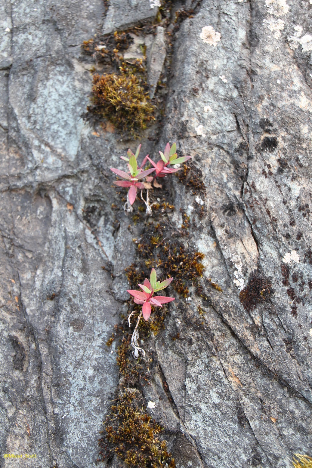
An appropriate--though challenging--trail flash to follow in winter. (2/18/14)
Perhaps snowshoes would have been in order for today's walk. (2/18/14)
(2/18/14)
While momentarily off the beaten trail, quickly found my way back on. (2/18/14)

Mystery Bird/ (2/18/14)
The bird pictured above (and below) is something of a mystery. Despite attempting to use the Cornell Lab of Ornithology's All About Birds online field guide to properly identify it employing a range of criteria, including body shape, I had difficulty concluding exactly what kind of bird it is. I'm confident it is something obvious and familiar (and therefore ubiquitous) I am not confident of exactly what it is: Wood Thrush? Hermit Thrush?

Simply because it is on a felled tree does not make it a Wood Thrush, right? (2/18/14)
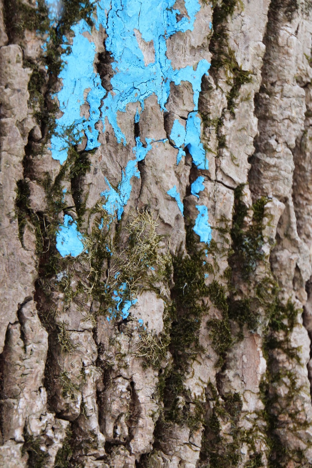
Blue trail flashes abound. (2/18/14)
(2/18/14)
Adult female Downy Woodpecker. (2/18/14)
An adult female Downy Woodpeckers give a checkered black-and-white impression. The black upperparts are checked with white on the wings, the head is boldly striped, and the back has a broad white stripe down the center.

Adult female Downy Woodpecker. (2/18/14)
(2/18/14)
(2/18/14)
Look carefully, pretty sure it's a Brown Creeper! (2/18/14)
Brown Creeper are well camouflaged and inconspicuous against tree bark in a shady forest, but if you keep your eyes peeled for movement, you may find a creeper zigzagging upward as it gleans insects from the trunk, or see the small shape of one dropping from high on a trunk to the base of a nearby tree. Once learned, the high, insistent call note can alert you to the presence of these birds. Look for Brown Creepers in mature woods, if possible, though you can also find them in parks and suburban areas in the winter (from AllAboutBirds.org).

(2/18/14)
(2/18/14)
(2/18/14)

Wetlands in winter. (2/18/14)
(2/18/14)
Wetlands housing available. (2/18/14)